STUDY SITE & OBJECTIVES

This project is designed to compliment ongoing research and to provide data to the NMWG and other Belizean agencies, which focus on manatee conservation issues.

The study site is confined to the Drowned Cayes area between Belize City and the Barrier Reef. The Drowned Cayes are a string of mangrove islands about 13 km long, in the shape of a comma. They are located about 8 km east of Belize City and less than 2 km west of the Barrier Reef at Gallows Point.

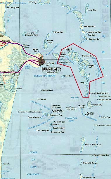
Aerial surveys (Auil 1998) indicate that this area is an important habitat for manatees in Belize. It's proximity to Belize City means it is also greatly impacted by humans. By looking at individual manatees in this relatively small area over an extended period of time, I hope to determine how and why they use the Drowned Cayes and generally expand our knowledge of the "Elusive Manatee". The following objectives are steps involved in the process:

1. Identify areas of high use within the Drowned Cayes.

2. Record and analyze environmental data.

3. Develop a site-specific photo-id catalog.

4. Determine individual site fidelity.

5. Record and analyze manatee vocalizations.

6. Record and analyze manatee behaviors.


INTRODUCTION | STUDY SITE & OBJECTIVES | METHODS & RESULTS Page 1 | METHODS & RESULTS Page 2 | DISCUSSION & REFERENCES | GLOSSARY | HOME

Copyright 1999 Caryn Self Sullivan, Department of Wildlife and Fisheries Sciences, Texas A&M University, College Station, TX 77843-2258. The research presented in this poster was funded by The Oceanic Society of San Francisco, CA 94123 and supported by an NSF Graduate Fellowship. Permission to print and reproduce these 6 poster pages is hereby granted for non-profit educational use, only.